Hiking trails
Zillertal Arena
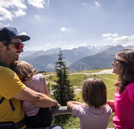
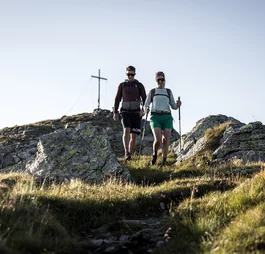
The hiking trails in the Zillertal Arena offer a variety of routes for every hiking level. Whether leisurely strolls or challenging mountain tours across blooming alpine pastures, through dense forests and along impressive peaks, every trail leads to spectacular views.
Schmankerlweg Culinary trail
1 hour
Regional delicacies presented along the way, a great family experience followed by a refreshment stop.
Starting point: Rosenalm mountain station
Route length: 3.5 km
Elevation gain: 210 metres
Family hike Kreuzwiese
2 hours
Wonderful hike for the whole family. Along a forest path, perfect for beginners.
Starting point: Hundsbichlhof (Gerlosberg)
Route length: 6 km
Elevation gain: 643 metres
Forest hiking trail from Zell am Ziller
3 hours
Via the Krauspromenade and a beautiful forest path, you reach the Gerlosberg, cross the road and walk along the way to the chapel. Behind it, a steeper path leads to the Enzianhof inn. From there, continue to the Kreuzwiesenalm.
Starting point: Krauspromenade - to the right of the Zillertal Arena/Zell valley station
Route length: 12 km
Elevation gain: 1,200 metres
Kreuzjoch
5 hours
Challenging hike from the Rosenalm station (1,744 m). From the mountain station of the cable car, first turn left on a road direction out of the valley to the first pasture, where you will find the crossroads, where you turn right and follow the slightly ascending road to the Gründlalm. There you will find the next crossing, where you follow the road to the left as far as the Kreuzjochhütte. From there, continue right into the valley on the road to the Kreuzjoch Alm (only open in winter). Bhind the hut, follow the road to the left until shortly before the mountain station of the Hanser X-PRESS, where you reach the hiking trail on the left, which leads over the mountain ridge. After crossing the ski slope, the hiking trail leads to the south side of the slope until you reach the mountain ridge (Übergangsjoch) again, which leads to the summit of the Kreuzjoch (2,558 m). From there it takes 15-20 minutes to reach the Gamsköpfel. Then descend via Ausserertens Kar to the Kreuzwiesenalm.
Ascent: approx. 5 hours
Starting point: Rosenalm
Route length: 14 km
Elevation gain: 830 metres
Karspitz Summit tour
3.5 hours
Easy summit tour from the Rosenalm station (1,744m). From the cable car mountain station, first follow the Schmankerlweg Gourmet trail to the second gate at Gründlaml. Then take the junction on the left, after approx. 400 m turn right and follow the initially steep road towards Karspitzbahn for 2-2.5 km. Arrival Karspitzbahn Berg, only 5-10 min to the summit cross. Then descend via path N° 16 to the Kreuzwiesenalm or descend eastwards passing the Rosssee lake via the Ausserertens Alm to the Kreuzwiesenalm.
Ascent: approx. 3.5 hours
Starting point: Rosenalmbahn cable car


